
Click the link below the picture
.
As Category 5 hurricane Melissa bears down on Jamaica, it is poised to be the worst storm to ever hit the Caribbean island, surpassing the damage from Hurricane Gilbert in 1988.
Gilbert, which hit Jamaica as a Category 4 hurricane, sent 19 feet of storm surge slamming into the eastern shore of the island and brought torrential rains and destructive winds. It killed 49 people, destroyed 100,000 homes, and did $700 million in damage, according to the U.S. National Oceanic and Atmospheric Administration.
Melissa, though, is far stronger and will hit from a direction that could expose more coastline to surge. And it is slower-moving, which means Jamaica will be subjected to the storm’s onslaught—especially torrential rains—for longer.
“This is going to be a lot worse than Gilbert,” says Phil Klotzbach, a senior research scientist at Colorado State University, who studies hurricanes.
Jamaica is no stranger to storms, but it has only been hit directly by five major ones (those of Category 3 or stronger), according to the best available historical records, which go back to the late 19th century. All of those major storms were either Category 3 or Category 4—we don’t know of any in recorded history that hit the island as a Category 5.
And Melissa is in rarefied company even among already rare Category 5 storms—it is exceptionally intense for an Atlantic basin hurricane. As of Monday afternoon, its maximum sustained winds are a stunning 175 miles per hour. Gilbert’s winds topped out at 130 mph when it collided with Jamaica.
Even if Melissa weakens some before it makes landfall in Jamaica, it will still be an exceptionally strong storm, and the fact that it is hitting from the south means it is running smack into a longer coastline than Gilbert did with its eastern approach. The nation’s capital, Kingston, sits on its southern shore.
The surge from Melissa is expected to reach nine to 13 feet above ground level, but exactly where that surge will be concentrated will depend on the storm’s exact path. Even small deviations could make a big difference in where the worst winds and waves hit. The farther west Melissa drifts before making a sharp turn to the northeast, the less likely it will be that the major population areas of the eastern half of the country, such as Kingston, will see the worst of the surge.
And then there is the fact that Melissa is creeping along at a pace between 3 and 5 mph, compared with Gilbert’s more typical 12 mph. “It’s barely moving,” Klotzbach says, which means the winds, surge, and rain will last agonizingly long. In fact, “they’ve been getting rain from this storm for days now,” Klotzbach says, as the weather system has drifted south of the island. Most of Jamaica is projected to get more than a foot of rain, and a wide area is forecast to get up to 30 inches. Some spots could see up to 40 inches. That amount of rain can be catastrophic, especially in Jamaica’s hilly terrain, where it can cause flash floods and landslides.
The Jamaican government has ordered mandatory evacuations for some flood-prone areas, according to the Jamaica Observer, and utilities are planning ahead for restoration efforts once the storm passes. “A Category Four hurricane potentially going through the middle of our island could have unprecedented damage on our facilities,” said Hugh Grant, chief executive officer of the Jamaica Public Service Company (JPS), at a media briefing on Sunday, according to the Jamaica Observer. “Here at JPS, it’s likely to be a rebuild and not just a restoration.”
.
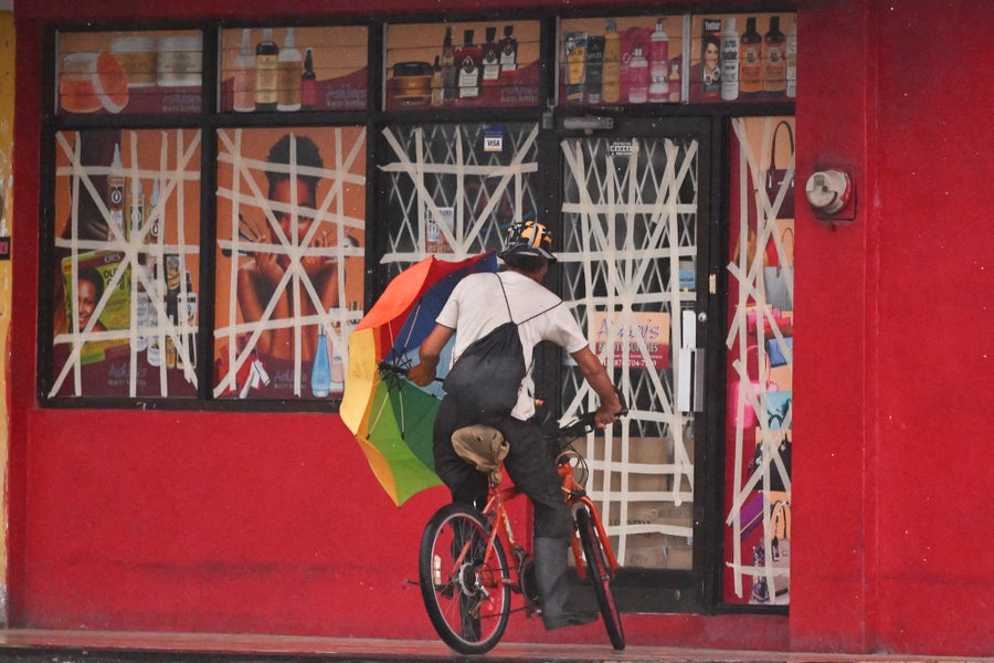
A cyclist rides up to a store to seek shelter from Hurricane Melissa in Portmore, Jamaica, on October 26, 2025. Ricardo Makyn/AFP/Getty Images
.
.
Click the link below for the complete article:
.
__________________________________________

Leave a comment