
Click the link below the picture
.
The 2024 Atlantic hurricane season starts on June 1, and forecasters are predicting an exceptionally active season.
If the National Hurricane Center’s early forecast, released May 23, is right, the North Atlantic could see 17 to 25 named storms, eight to 13 hurricanes, and four to seven major hurricanes by the end of November. That’s the highest number of named storms in any NOAA preseason forecast.
Other forecasts for the season have been just as intense. Colorado State University’s early outlook, released in April, predicted an average of 23 named storms, 11 hurricanes, and five major hurricanes. The European Centre for Medium-Range Weather Forecasts anticipates 21 named storms.
Colorado State also forecasts a whopping 210 accumulated cyclone energy units for 2024, and NOAA forecasts the second-highest ACE on record. Accumulated cyclone energy is a score for how active a given season is by combining intensity and duration of all storms occurring within a given season. Anything over 103 is considered above normal.
These outlooks place the 2024 season in league with 2020, when so many tropical cyclones formed in the Atlantic that they exhausted the usual list of storm names: A record 30 named storms, 13 hurricanes, and six major hurricanes formed that year, combining for 245 accumulated cyclone energy units.
So, what makes for a highly active Atlantic hurricane season?
I am a climate scientist who has worked on seasonal hurricane outlooks and examined how climate change affects our ability to predict hurricanes. Forecasters and climatologists look for two main clues when assessing the risks from upcoming Atlantic hurricane seasons: a warm tropical Atlantic Ocean and a cool tropical eastern Pacific Ocean.
Warm Atlantic water can fuel hurricanes
During the summer, the Atlantic Ocean warms up, resulting in generally favorable conditions for hurricanes to form.
.
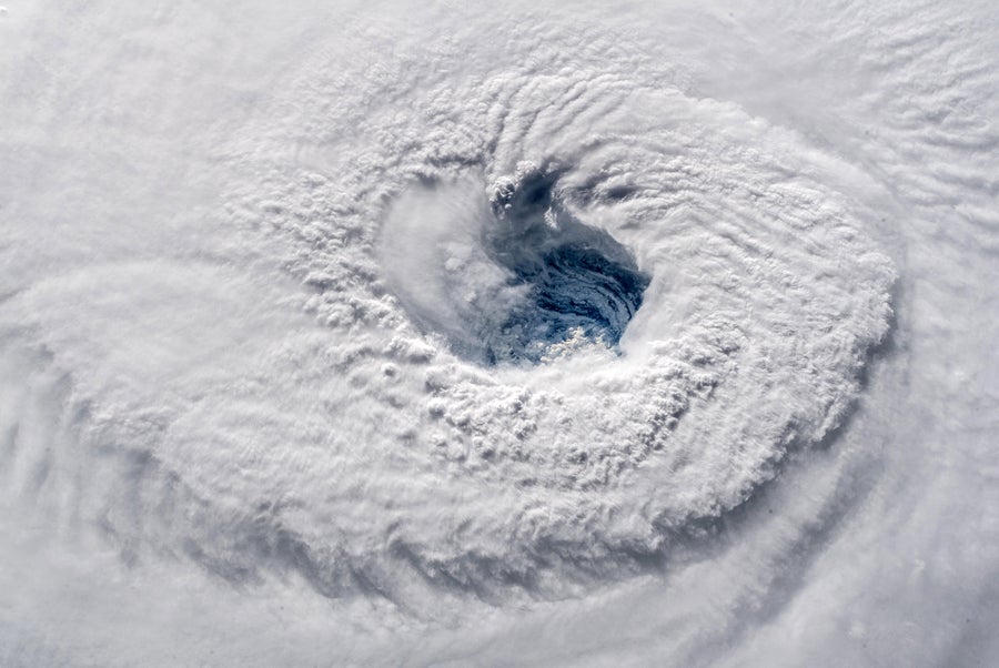
In this satellite image captured by ESA astronaut Alexander Gerst from aboard the International Space Station, Hurricane Florence churns through the Atlantic Ocean toward the U.S. East Coast on September 12, 2018. ESA/NASA via Getty Images
.
.
Click the link below for the article:
.
__________________________________________

Leave a comment